
Best Motorcycle Roads in North Carolina
North Carolina packs more riding variety into its western mountain counties than most states can manage across their entire territory. The southern Appalachians push roads up past 5,000 feet, drop them through river gorges, and string them along ridge spines with long views in every direction. You can spend a full week working through the routes centered on Deals Gap, Robbinsville, Brevard, and the Blue Ridge Parkway corridor without repeating pavement. The terrain is real — elevation changes are abrupt, fog rolls in without warning, and leaf litter in autumn can make shaded corners slick. But for riders who come prepared, western NC offers some of the most technically and scenically varied riding on the East Coast.
- Routes
- 4
- Best season
- May–June, Sept–Oct
- Helmet law
- Required — all riders (universal)
- Lane splitting
- Not legal
- Key closure note
- BRP Linville–Mt. Mitchell closed (Helene damage, repairs ongoing through 2026)
The routes
scenic road · north carolina
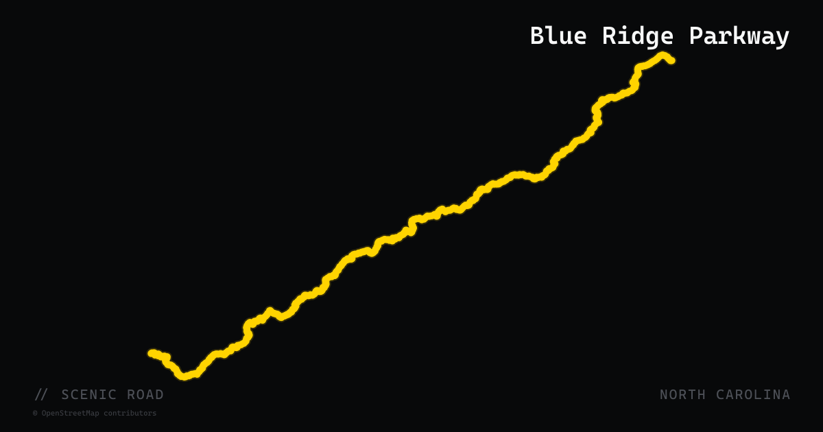
Blue Ridge Parkway
469 miles of high-elevation ridge riding from Shenandoah to Great Smoky Mountains.
scenic road · north carolina
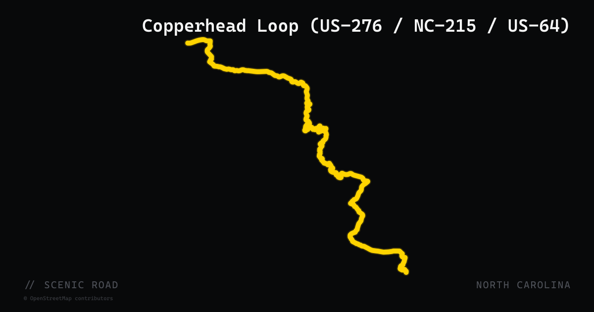
Copperhead Loop (US-276 / NC-215 / US-64)
A roughly 77-mile loop from Brevard through Pisgah National Forest, crossing the Blue Ridge Parkway twice and passing waterfalls, swimming holes, and historic forest sites.
lodging · north carolina
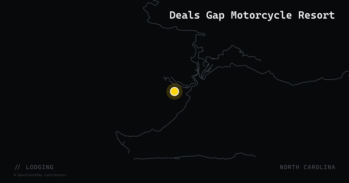
Deals Gap Motorcycle Resort
Lodging, food, and the famous Tree of Shame at the south end of the Dragon.
scenic road · north carolina
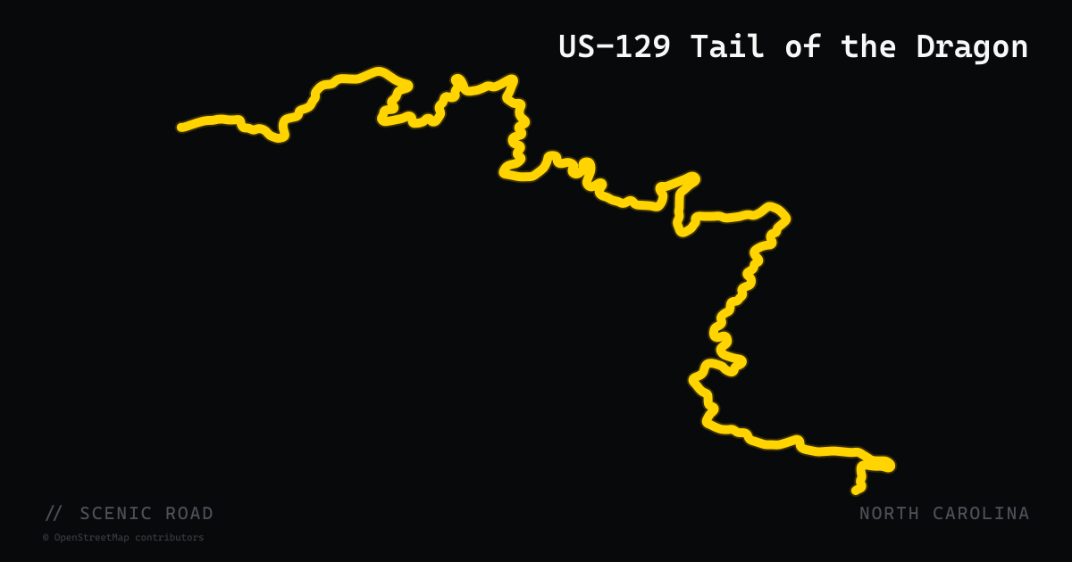
Tail of the Dragon
318 curves in 11 miles. The legendary US-129 stretch across the NC/TN border.
Why Western NC Deserves a Dedicated Trip
North Carolina's riding reputation rests almost entirely on its western mountain counties, and that concentration works in your favor. Within roughly a 60-mile radius of Robbinsville and Bryson City, you have access to the Tail of the Dragon, the Cherohala Skyway, the southern terminus of the Blue Ridge Parkway, and the Copperhead Loop — four very different riding experiences that can be combined into a multi-day circuit without ever logging boring interstate miles between them.
The terrain here is genuinely high. The NC section of the Blue Ridge Parkway crests above 6,000 feet, and the Cherohala Skyway reaches 5,390 feet. That means temperatures run 10–20°F cooler than valleys below, fog appears without warning, and pavement can stay damp in shaded cuts long after rain has passed. Pack a layer even in July.
Choosing Your Ride
Think about what kind of day you want before picking a route:
- Elevation and long views, relaxed pace: The Blue Ridge Parkway's NC section (VA/NC line south to Cherokee) is the call. The 45 mph speed limit is enforced, and the road rewards stopping — Linn Cove Viaduct, Grandfather Mountain, and Mount Mitchell are genuine landmarks, not just names on a map.
- Smoother sweepers, fewer crowds: The Cherohala Skyway (Robbinsville to Tellico Plains, TN) is the consistent local recommendation for riders who want high-elevation riding without the Dragon's intensity or the Parkway's tourist traffic.
- A contained day loop with stops: The Copperhead Loop through Pisgah National Forest — Looking Glass Falls, Sliding Rock, the Cradle of Forestry — is a 77-mile circuit that crosses the Parkway twice and gives you natural stops built into the ride.
- The technical challenge everyone talks about: The Tail of the Dragon at Deals Gap is 11 miles of 318 curves with no intersections and no driveways. It warrants honest self-assessment. Oncoming vehicles in your lane on blind curves is a documented hazard; photographers at Killboy capture every pass, and the Tree of Shame at Deals Gap Resort displays hardware from real crashes.
Logistics and Hazards
Hurricane Helene damage: As of 2026, roughly 35 miles of the Blue Ridge Parkway between Linville Gorge and Mount Mitchell remain closed. Full reopening is projected for end of 2026. Check nps.gov/blri before any Parkway ride.
Fuel: The Parkway has no gas stations for its entire length. Top off before entering. The Cherohala Skyway is similarly sparse on services.
Wildlife and sightseers: Deer crossings are common at dawn and dusk across all mountain routes. On the Parkway and at the Dragon, slow-moving tourist vehicles and sightseers pulling over unexpectedly are consistent hazards.
Winter: High-elevation sections of the Parkway close repeatedly for ice and snow from late fall through early spring. The NPS does not chemically treat the road surface, so closures last until natural melting occurs.
Tropical weather: NC mountain roads can be affected by tropical systems tracking inland from the Atlantic during late summer and fall — worth checking forecasts if you're planning around hurricane season.
Frequently asked
Is a helmet required to ride a motorcycle in North Carolina?+
Yes. North Carolina has a universal helmet law: every rider and passenger must wear a DOT-compliant helmet (FMVSS 218) at all times, regardless of age or experience level. There are no exceptions for adult riders. Make sure your helmet has the DOT sticker permanently installed by the manufacturer.
Is lane splitting legal in North Carolina?+
No. Lane splitting and lane filtering are not legal in North Carolina. Riders must occupy a full lane and follow standard traffic laws.
When is the best time of year to ride the Tail of the Dragon?+
The Dragon is rideable roughly March through November. Mid-week days in spring or fall tend to have lighter traffic than summer weekends, when the road and the parking area at Deals Gap can get crowded. Wet pavement and leaf litter in shaded sections are real hazards regardless of season.
Are any Blue Ridge Parkway sections currently closed?+
Yes. As of 2026, approximately 35 miles of the NC Parkway — from Linville Gorge to Mount Mitchell State Park — remain closed due to Hurricane Helene damage (September 2024). Full repairs are projected to be complete by end of 2026. Always check the NPS road closure map at nps.gov/blri before your ride, and note that high-elevation sections also close temporarily for ice and snow in winter.
How difficult is the Tail of the Dragon for a touring or heavier bike?+
The Dragon's 318 curves in 11 miles are manageable on most bikes, including touring models, but the relentless back-to-back nature of the curves rewards honest self-assessment. Riders on heavier or longer-wheelbase bikes should expect more physical effort and should ride at a deliberate, controlled pace. Oncoming traffic in your lane on blind corners is a documented, recurring hazard.
What is the Southeast Adventure Dual Sport Route (SEBDR) in North Carolina, and is it affected by Helene damage?+
The SEBDR is a recently launched off-pavement-friendly route; NC carries roughly 250–350 miles of the central and northern sections, running from near the Georgia border through Andrews, Bryson City, Cataloochee, Max Patch, and Hot Springs before reaching Damascus, VA. Some sections were damaged by Hurricane Helene in 2024–25. Check ridebdr.com for current conditions before planning an off-pavement segment.
When to ride
Late spring through early November is the core riding window for the NC mountains, with May–June and September–October offering the most consistent temperatures and road conditions. Summer afternoons bring frequent thunderstorms, particularly at elevation, so morning starts are worth planning around. Note that as of early 2026, roughly 35 miles of the Blue Ridge Parkway between Linville Gorge and Mount Mitchell remain closed due to Hurricane Helene damage from September 2024, with full reopening projected by end of 2026 — check the NPS road closure map before any Parkway ride.
+Sources & references (7)
- North Carolina Motorcycle Helmet Law – Law Tigers
- North Carolina Helmet Laws 2025 Explained – Wade Byrd Law
- Blue Ridge Parkway Road Closures & Updates – BlueRidgeParkway.org
- Blue Ridge Parkway to Fully Reopen in NC by End of 2026 – Blue Ridge Public Radio
- Western North Carolina Travel Update (Hurricane Helene) – VisitNC
- Blue Ridge Parkway Operating Hours & Seasonal Info – Virtual Blue Ridge
- North Carolina Motorcycle Roads – GreatMotorcycleRoads.com