// scenic road
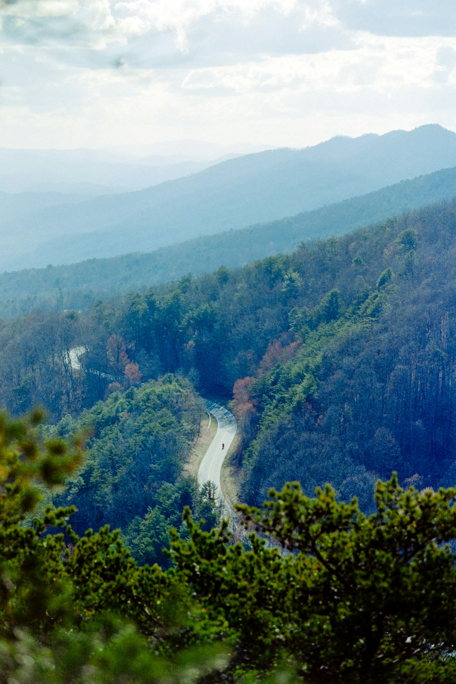
Cherohala Skyway
43-mile high-elevation ride across the Cherokee and Nantahala forests.
- Category
- scenic road
- Region
- tennessee
- Latitude
- 35.3910
- Longitude
- -83.9640
The Cherohala Skyway runs from Tellico Plains, TN to Robbinsville, NC across the Cherokee and Nantahala National Forests. 43 miles of sweepers and elevation changes, far less crowded than the nearby Tail of the Dragon, with elevations reaching over 5,000 feet.
The road was completed in 1996, designed specifically as a scenic route — wide lanes, generous shoulders, well-engineered curves. It's a forgiving road for newer riders while still delivering enough variety to keep experienced riders engaged.
Pair it with the Dragon (just south) for a perfect day of riding from Deals Gap.
// NEARBY